Fiber Optic Expansion for Smart Cities: Connecting Rural Areas with High-Speed Internet


In the era of the high-speed internet revolution, countries worldwide are committed to extending fiber optic connectivity even to the most remote rural areas. This initiative forms a crucial part of global smart city projects, aiming to bridge the digital divide and enhance accessibility for all.
The installation of new fiber optic networks demands meticulous planning and informed decision-making. The goal is to determine the most efficient routes for laying fiber optic cables, with a focus on minimizing disruptions while ensuring seamless and effective connectivity to various buildings and infrastructures. SISL, in a strategic alliance with our West Europe Mobile Survey Partners, is helping make this happen.
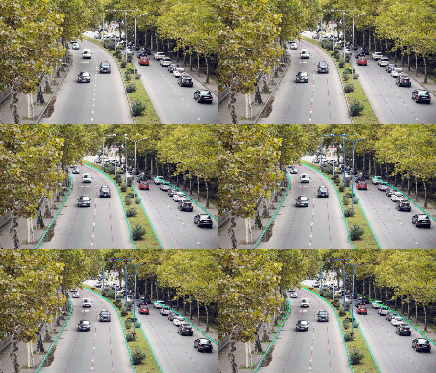
We provide essential topographical and cadastral 3D mapping of municipalities, guiding the expansion of these networks. So far, we've processed over 50,000 kilometers, and we're on track to tackle more than 40,000 kilometers every year.
List of features extracted below-
-
Utility Pole top and bottom
-
Utility Pole diameter
-
Utility Pole Anchors
-
Down guy wire lines
-
Down guy wire attachment points
-
Conductor attachment points
-
Conductor lines (Primary, Secondary, Neutral)
-
Transformers
-
Fuse
-
Communication cable lines
-
Communication cable attachment points
-
Overhead guy wire attachment points
-
Overhead guy wire lines
-
Poles that are different than utility poles
-
Vegetation clusters with highest points
-
Individual Trees with top points
-
Distance between the nearest tree and the conductors
-
Road objects related to utility
-
Gas Meter, water valve
-
Curbline (Top and Bottom)
-
Building Sidewalks
-
Building Outline
-
Driveway with material
-
Edge of Road
-
Postboxes, Meters
-
Culverts
-
Traffic signs
-
Traffic Light
-
Street Light
-
Bollards
-
Side of the house meters
-
Water valve
-
Retaining wall
-
Gardens
-
Concrete pads
-
Fenceline
-
Edge of the road (gravel)
-
Ditches(top and bottom)
-
Railroad tracks
-
Waterways
